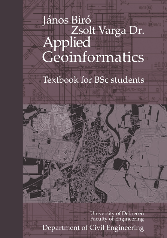
Applied Geoinformatics
2 500 Ft
- ISBN
978-963-615-376-2
- Terjedelem
94
- Kiadás dátuma
- Kötés típusa
Puha kötés
- Szerző(k) / Szerkesztette
This technical book presents, along with a consistent thematic structure, methods that can be applied to solve simple geodetic problems that arise in engineering practice. As we know, geodesy is increasingly integrated into the fields of expertise for which it, in a sense, provides the foundations. With the increasingly widespread use of satellite positioning, the integration is particularly rapid in those areas where the accuracy of satellite positioning is sufficient. Unfortunately, the social esteem of the profession also seems to be declining. One reason for this is that the end-product of this engineering work is not spectacular and is not even “visible” to the uninitiated. However, only those who have an obligation or interest in having the work done or who understand the technical content of the work and see its necessity have a need for less spectacular things. The lack of the latter is perhaps the biggest problem. By writing this book, we have undertaken to bring the geodesy profession a little closer to students by presenting the solution to a surveying problem. We try to emphasize the importance of practice by having students answer a question posed to them using the guidelines in the notes. They can complete the tasks independently, but to do so, they have to figure out certain details on their own, and as we know, the knowledge acquired in this way is the most lasting. The book can be easily used by any student of our university who has even a passing contact with engineering sciences, as the work presents the practical implementation of a problem to be solved by posing it. We also recommend the notes to students of construction, architecture and environmental engineering, and to all those who This textbook presents, along with a consistent thematic structure, methods that can be applied to solve simple geodetic problems that arise in engineering practice. As we know, geodesy is increasingly integrated into the fields of expertise for which it, in a sense, provides the foundations. With the increasingly widespread use of satellite positioning, the integration is particularly rapid in those areas where the accuracy of satellite positioning is sufficient.
- Kategóriák:
- Műszaki KarMűszaki tudományokÚj
Leírás
This technical book presents, along with a consistent thematic structure, methods that can be applied to solve simple geodetic problems that arise in engineering practice. As we know, geodesy is increasingly integrated into the fields of expertise for which it, in a sense, provides the foundations. With the increasingly widespread use of satellite positioning, the integration is particularly rapid in those areas where the accuracy of satellite positioning is sufficient. Unfortunately, the social esteem of the profession also seems to be declining. One reason for this is that the end-product of this engineering work is not spectacular and is not even “visible” to the uninitiated. However, only those who have an obligation or interest in having the work done or who understand the technical content of the work and see its necessity have a need for less spectacular things. The lack of the latter is perhaps the biggest problem. By writing this book, we have undertaken to bring the geodesy profession a little closer to students by presenting the solution to a surveying problem. We try to emphasize the importance of practice by having students answer a question posed to them using the guidelines in the notes. They can complete the tasks independently, but to do so, they have to figure out certain details on their own, and as we know, the knowledge acquired in this way is the most lasting. The book can be easily used by any student of our university who has even a passing contact with engineering sciences, as the work presents the practical implementation of a problem to be solved by posing it. We also recommend the notes to students of construction, architecture and environmental engineering, and to all those who This textbook presents, along with a consistent thematic structure, methods that can be applied to solve simple geodetic problems that arise in engineering practice. As we know, geodesy is increasingly integrated into the fields of expertise for which it, in a sense, provides the foundations. With the increasingly widespread use of satellite positioning, the integration is particularly rapid in those areas where the accuracy of satellite positioning is sufficient.
További információk
- ISBN
978-963-615-376-2
- Terjedelem
94
- Kiadás dátuma
- Kötés típusa
Puha kötés
- Szerző(k) / Szerkesztette



Értékelések
Még nincsenek értékelések.